Cities have an unparalleled potential to improve the lives of the people within them. Understanding how to change the systems within a city, and unlock that potential, is difficult.
We bring data to your ideas for positive change, exploring their impact on the city. We build tools and visualisations that unlock creativity, progress and better decisions.
We work to uphold the right to the city, and approach projects with openness and transparency.
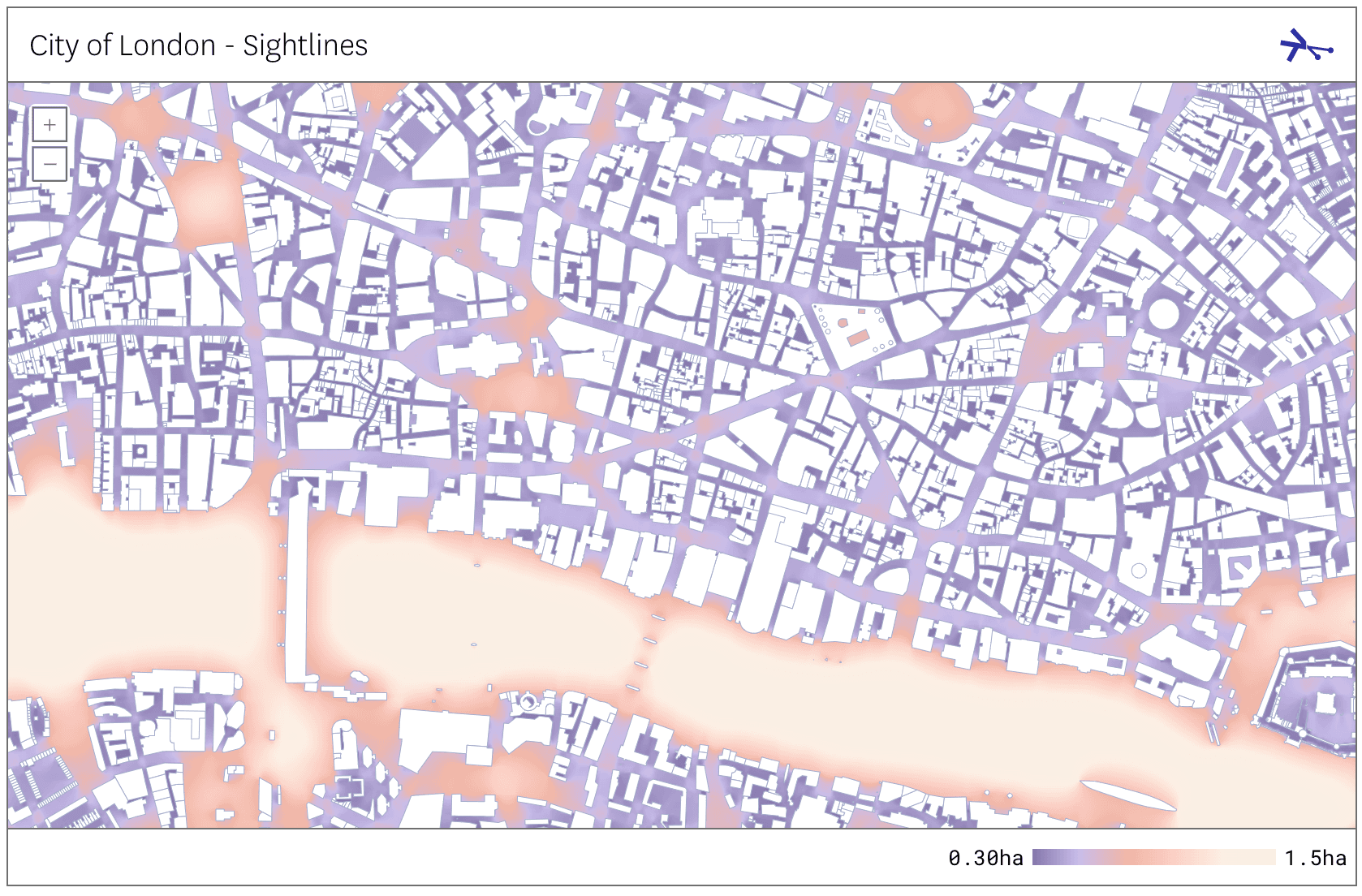
We tell compelling stories through maps, showing systems, not segments.
We are a data science and visualisation consultancy, powered by our software. We work with urban design studios, planners, property developers, public agencies, and research institutions.
Our technology is built to understand city systems. We specialise in understanding very large data and very sensitive data. Our tools allow us to tackle problems and scales others can’t.
We make it possible to explore the intersection of city systems in a reproducible, transparent analysis process. We enable clients to use sensitive personal data responsibly.
We build with a legal commitment to openness and responsible governance.
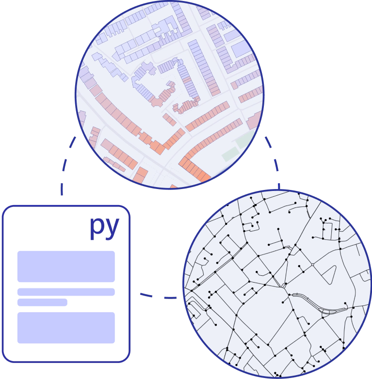
We work with any information that describes the urban form including environmental factors, transport networks, buildings, demographic and economic systems.
Understand city systems today, to build a case for change
We help planners and design studios gain new insight through transparent, rapid analysis of cities' systems. We work with any information that describes the urban form including environmental factors, transport networks, buildings, demographic and economic systems.
Understand the impact of change in cities
Compare the effects of change across multiple city systems.
We help retailers understand the impact of improvements to cycle infrastructure on their expansion plans. We work with property developers to understand the potential of brownfield sites and active travel policies on their pipeline. And we support utility companies to understand the impact of transport electrification.
Engage stakeholders with your analysis
Technology alone is not the answer to cleaner, more equitable, healthier cities. We help property developers and public agencies communicate complex data analysis with beautiful visualisation tools. Our technology supports engagement processes with stakeholders, members of the public, and domain experts.